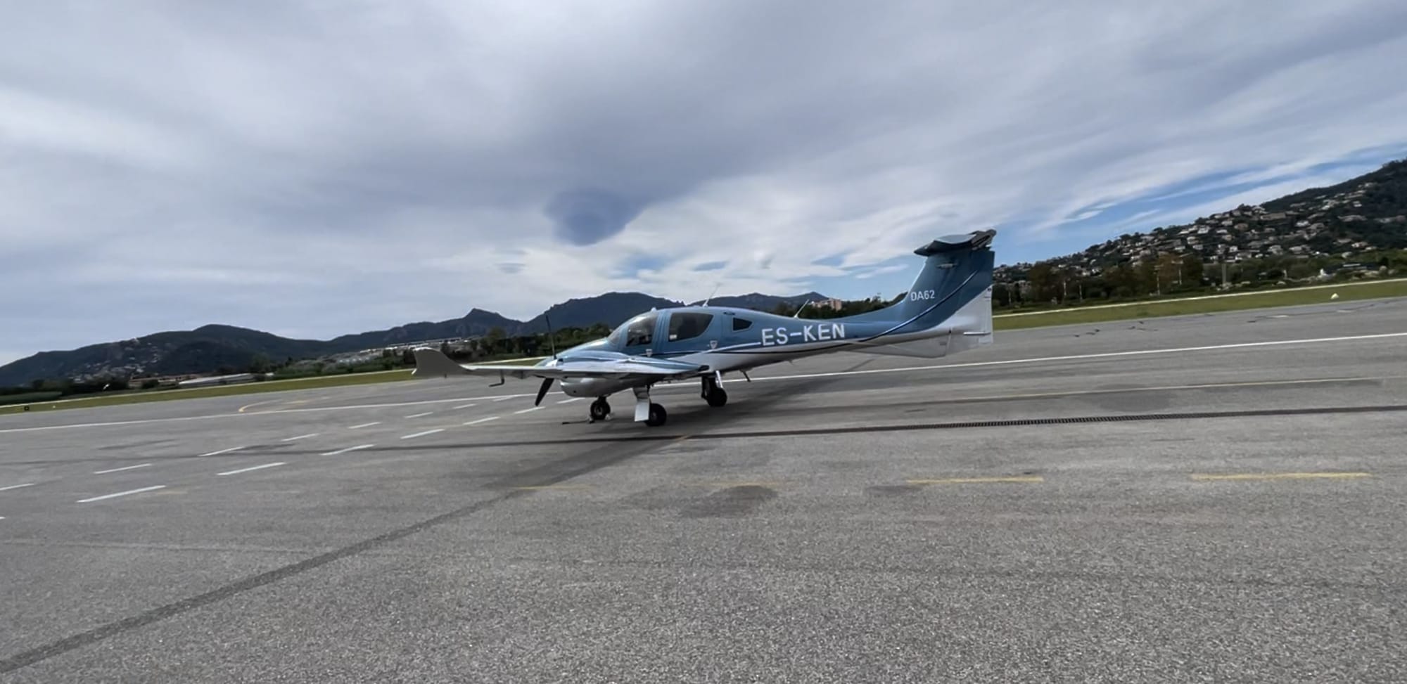
DA62 MPP Configuration for Geo Survey and Mapping
Diamond DA62 · Weight And Balance
Overview
This document provides detailed specifications and operational data for the Diamond DA62 MPP, specifically tailored for geo surveying and mapping applications. It includes critical information on mass and balance, performance metrics, and operational capabilities. The document is intended for pilots, operators, and aviation enthusiasts interested in the DA62 MPP's performance in various mission profiles. Key features include maximum take-off mass, empty mass, payload capacities, and fuel consumption rates, ensuring users can effectively plan and execute their missions with the aircraft.
- Maximum Take-Off Mass: 5,071 lbs (2,300 kg)
- Empty Mass: 3,803 lbs (1,725 kg)
- Payload Capacity: 1,268 lbs (575 kg)
- Fuel Tank Capacity: 86 US gallons (326 liters)
- Minimum Operation Speed: 76 KIAS (140 km/h)
- Maximum Cruise Speed: 192 KTAS (356 km/h)
- Certified Service Ceiling: 20,000 ft (6,096 m)
Document
Open original PDF ↗In this document
Mass & Balance
The Mass & Balance section outlines the critical weight specifications for the Diamond DA62 MPP. The maximum take-off mass is 5,071 lbs (2,300 kg), with an empty mass of 3,803 lbs (1,725 kg). This results in a payload capacity of 1,268 lbs (575 kg) for crew and fuel. The document emphasizes the importance of adhering to these limits for safe operation.
Performance Metrics
This section details the performance capabilities of the DA62 MPP. The minimum operation speed is 76 KIAS (140 km/h), while the maximum cruise speed at 14,000 ft is 192 KTAS (356 km/h). The certified service ceiling is 20,000 ft (6,096 m), with take-off and landing distances of 2,897 ft (833 m) and 2,556 ft (779 m) respectively.
Fuel Capacity and Consumption
The fuel tank capacity of the DA62 MPP is 86 US gallons (326 liters). Fuel consumption rates vary based on power settings, with 9.0 US gallons/hour at 45% power, 11.8 US gallons/hour at 60% power, and 14.8 US gallons/hour at 75% power. This information is crucial for flight planning and endurance calculations.
Mission Profile Examples
The document provides examples of mission profiles for the DA62 MPP, detailing operational speeds, altitudes, and fuel flow rates for different survey applications. For instance, at a high resolution, the operation speed is 117 KTAS (60 m/s) at 2,000 ft (610 m), with a total flight time of 8.8 hours.
Full document text
High Geo Accuracy meets Operational Economy multi sensor capability • 100-hour maintenance interval • significantly reduced drag concept low operating costs • piston powered & jet-fueled • missions up to 8 hours • „FAILSAFE” carbon fiber airframe single lever engine control (EECU) • Garmin ESP (Electronic Stability & Protection) UNIVERSAL NOSE Airborne laser scanner FLIGHT GUIDANCE Flight management system CABIN Large format camera 20-INCH HATCH Stabilization mount DA62 MPP #PrecisionFromAbove DA62 MPP SURVEYSTAR FACTS Minimum Operation Speed 76 KIAS 140 km/h Maximum Cruise Speed (14,000 ft, MCP) 192 KTAS 356 km/h Fuel tank capacity 86 USGal 326 l Certified Service Ceiling 20,000 ft 6,096 m Take-Off Distance (50 ft obstacle / ISA MSL) 2,897 ft 833 m Landing Distance (50 ft obstacle / ISA MSL) 2,556ft 779 m Mass & Balance Maximum Take-Off Mass (restricted overweight operation) 5,071 lbs 2,300 kg Empty Mass 3,803 lbs 1,725 kg Payload for Crew and Fuel 1,268 lbs 575 kg 2100 2000 1900 1800 1700 1600 1500 2.32 2.34 2.36 2.38 2.40 2.42 2.44 2.46 2.48 Mass [kg] 2200 2300 2.50 2.52 Lever Arm [m] 14.55 m / 47 ft 9 in 9.19 m / 30 ft 2 in 2.82 m / 9 ft 3 in LARGE ELEVATOR TIPS To increase yaw stability for precision flights • Garmin GCU 476 Keypad • Garmin Flight Stream 510 • Garmin GTX345R ADS-B in / out XPDR • GWX70 Weather Radar • WX 500 Stormscope • Avidyne TAS 605 Traffic Advisory System • Honeywell KN 63 Remote DME • Garmin GSR 56 Satellite Communication System • Air conditioning / RACC system • TKS anti-icing system • Digital standby attitude module (MD-302 SAM) AIRBORNE LASER SCANNER SYSTEM RIEGL VQ-780 II • High operating altitude up to 18,500 ft (5,600 m) • High laser pulse repetition rate up to 2 MHz • Multiple Turn Around (MTA) up to 35 pulses simultaneously • Wide scan field of view up to 60° • Full waveform analysis • High ranging accuracy 20 mm FLIGHT ENDURANCE RECORD BY GEOFLY PILOT THOR HÅKON SJURSEN DA62 MPP Configuration for Geo Survey and Mapping FLIGHT MANAGEMENT & GEO-ENCODING SOLUTION IGI • Pilot & operator screen with different views of surveying area • Personalized Display Information • Support for digital camera systems, LiDAR systems, SAR etc. • Direct Georeferencing for all sensors, IMU export free GARMIN G1000 NXi • Fully integrated glass cockpit / flight management system • Synthetic Vision Technology • GFC 700 Autopilot, incl. YD, IAS, LNAV / VNAV, FD AUSTRO ENGINE AE330 • In-house designed turbo diesel engines • 180 hp per engine • Fuel grades: Jet-A1, Jet-A, TS-1, JP-8, RT, No. 3 Jet • Ultra low fuel consumption • 100-hour maintenance interval • Safe design MTBF: >110,000 h • TBR: 1,800 h MASS & BALANCE LARGE FORMAT CAMERA VEXCEL ULTRACAM OSPREY 4.1 • Collects photogrammetry-grade nadir and oblique images simultaneously • 1.1 Gigapixels every 0.7 seconds • Fly at sun angles of up to 35-40° • Multi-directional motion compensation • 20,544 pixels across track • Color image size: 12.840 x 8.760 pixels GYRO STABILIZATION MOUNT SOMAG GSM 4000 • Drastic movement reduction of the airborne sensor • Hydraulic gimbal system • Pitch / Roll stabilization angle up to 8.8° • Yaw stabilization angle up to 25° Config #1 Config #2 Config #3 Riegl VQ-780 II IGI DigiCAM-100 IGI CCNS-5 FMS Vexcel UC Eagle Somag GSM 4000 IGI CCNS-5 FMS Riegl VQ-780 II Vexcel UC Osprey Somag GSM 4000 IGI CCNS-5 FMS Crew 2x85 kg Fuel 86 USgal Hatch installation Crew 2x85 kg Fuel 86 USgal Hatch installation Crew 2x85 kg Fuel 82 USgal Hatch & Nose installation Payload examples (RACC not installed) Equipped in the multi-sensor setup, an endurance of 7:17 hours was achieved with fuel remaining for almost two more hours, resulting in a max total endurance of 8:20 hours + 0:45 hours of reserve. MISSION PROFILE EXAMPLES Conditions: • distance home base - area of interest: 50 NM / 93 km • transition flight in operating altitude MSL • no turns between flight lines included • 30 minutes final reserve • full fuel 86 USgal • 2-man crew Examples High Resolution Standard Resolution Large Areas Applications City & architecture model- ing, power lines & corridor mapping, precision monitor- ing programs Cadastral, agricultural & forestry mapping. Small & medium area content programs Wide-area mapping and content programs. Remote area data spatial data col- lection Operation Speed (KTAS ≙ GS) 117 KTAS / 60 m/s 146 KTAS / 75 m/s 162 KTAS / 83 m/s Altitude MSL 2,000 ft / 610 m 8,000 ft / 2,438 m 10,000 ft / 3,048 m Representative GSD 2.5 to 4.5 cm 4.5 to 7.5 cm 7.5 to 12.5 cm Representative Point density 20 pts/m 2 and higher 10 to 20 pts/m 2 1 to 10 pts/m 2 Fuel Flow (USGal/h) 9.0 @ 45% power 11.8 @ 60% power 14.8 @ 75% power Total Flight Time 8.8 h 7.0 h 5.7 h Survey Time Available 8.1 h 6.2 h 5.0 h Possible Line Length per Flight 1,760 km / 950 NM 1,681 km / 908 NM 1,488 km / 803 NM SENSOR & MOUNT COMBINATIONS Manufacturer Sensor Mount Leica DMC III Leica PAV 100 Leica ADS100 Leica PAV 100 Leica ADS120 Leica PAV 100 Leica RCD30 Leica PAV 80 Leica City Mapper II Leica PAV 100HP Leica Terrain Mapper Leica PAV 100 PhaseOne PAS880 Somag GSM 4000 Riegl VQ-1560 I Somag GSM 4000 Riegl VQ-780 II shock - mounted Riegl VQ-880ii Somag GSM 4000 Specim Aisa FENIX Somag GSM 4000 Vexcel Eagle Somag GSM 4000 Vexcel Falcon Somag GSM 4000 Vexcel Condor Somag GSM 4000 Vexcel Osprey Somag GSM 4000 Vexcel UCO 4.1 Somag GSM 4000 These combinations are just examples. Other combinations available on request. Some combinations require angular restrictions in the stabilization range. All specifications, weights, representations, colors, equipment, use of materials and model references provided herein are for purely illustrative purposes and legally non-binding, subject to alterations and not warranted or guaranteed to be true or accurate. Actual useful load will vary depending on options installed on the aircraft. Any and all information given in this brochure cannot exempt the person operating the aircraft to use actual data for flight planning. The aircraft and / or product, and the chosen optional equipment (if any) shall meet exclusively the characteristics and specifications as defined and agreed in the written agreement with Diamond Aircraft Group. Referenced Diamond Aircraft trademarks are owned by Diamond Aircraft Industries GmbH or its subsidiaries. All other brands, product names, company names, trademarks and service marks are the properties of their respective owners. All rights reserved. ©2021, Diamond Aircraft Industries GmbH. For additional information on Diamond Aircraft and its products please visit www.diamondaircraft.com. 11/2021 S_30642 DIAMOND AIRCRAFT INDUSTRIES GMBH N. A. Otto-Strasse 5, 2700 Wiener Neustadt, Austria Phone: +43 2622 26700, sales-austria@diamondaircraft.com www.youtube.com/diamondaircraftmedia www.facebook.com/diamondaircraftind www.twitter.com/diamondaircraft www.linkedin.com/company/diamond-aircraft www.instagram.com/diamondaircraftind DA62 MPP Configuration for Geo Survey and Mapping